Workshop Topic Detail
Working With Maps and Visual Data in the Classroom
As the adage goes, a picture is worth a thousand words. What if you could synthesize key concepts from your reading materials, word problems, and lecture notes into meaningful pictures for your students? Connecting students and engaging them earlier in each semester with mapping and data visualization technology can be a powerful link to retention and overall course success. Maps and visual data help students relate to the subject matter, and not just in geography or history classrooms, but also in art, English, natural sciences, and beyond. Using free and open-source tools can greatly enhance the interaction between data and student researcher. You don't need a Global Positioning System (GPS) backpack or a high-end mapping software to create useful maps and charts. Exploration is at the tip of your fingers by simply typing in an address or area of interest. This workshop introduces faculty in all subjects to free, online tools and data visualization techniques. The content is interactive, providing participants the opportunity to experiment with different types of data.
By the end of this workshop, participants know or will be able to:
- Identify three online tools for mapping and visualizing data.
- Explain the four standard mapping elements and why they are important.
- Demonstrate how to search for any area of interest in Google Earth Pro.
Plans for Audience Participation and Interaction:
There will be several demonstration segments with a following hands-on, interactive assignment in Google Earth Pro online. No installation is required to use this free, online mapping tool.
Facilitator(s)

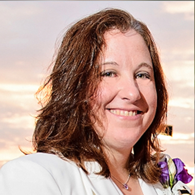
Rusti Liner teaches geography and emergency management courses at River Parishes Community College (RPCC) and Dillard University. She has been teaching college courses since 2010. Aside from teaching, Ms. Liner is a certified geospatial professional and has supported 15 nationally declared disasters from 2004 to 2009. At RPCC, she has developed a concentration of emergency management that allows general studies majors to take up to 18 hours of courses and participate in internship opportunities in various disaster programs across the nation. She is a proud supporter of QGIS and uses it exclusively in her interactive GIS courses. She is also one of four trained and certified International charter project managers for the State of Louisiana, supporting satellite imagery acquisitions before and after disaster events.

